JavaScript is disabled
Our website requires JavaScript to function properly. For a better experience, please enable JavaScript in your browser settings before proceeding.
I have never been able to find this place... Tried twice, and both times GPS didn't know what I wanted and I had no idea what I was looking for. Would like to try to get up there once before I leave the area. I need to zero my weapons anyway. DM me if anyone would be down to show me the way and/or just go together sometime this month.
Try this GPS... 44.47981337997644, -123.539193443029

On Google Maps, if you don't zoom in real close and then get the GPS, the GPS you copy may be a general location and not the specific place you wanted. It could be that you may have been using a number that is slightly off and puts you in a different spot. With the number above, I zoomed in 100% (in Satellite view) and then copied the GPS. It's also on the Trash No Land Home page on the interactive target shooter map.

Otherwise, REM700..300's directions are accurate.

@Mark. Go up Mary's Peak road off of highway 34. It is about 4ish miles up. I have always been told the gps mark is off aways. You will see a big paved parking lot on the left as you drive up. There will be a gravel access road beside it. You will walk around a big yellow gate and then walk back about 400 yards. Basically follow the trash.
To all that are interested, I will try to get a key and plan a weekend either mid-December or mid January. If we go in Dec the group will probably be smaller. And will happen no matter the weather is doing unless it snows. I will be all in.
If we want mid January we can plan a shoot and a lunch if we want. Snow will be the only show stopper.
I have trailer and we will haul the garbage out ourselves. We can get the pit shutdown so we dont have to worry about other shooters until we are done. Please send a reply with your time that works best.
Thanks
Craig
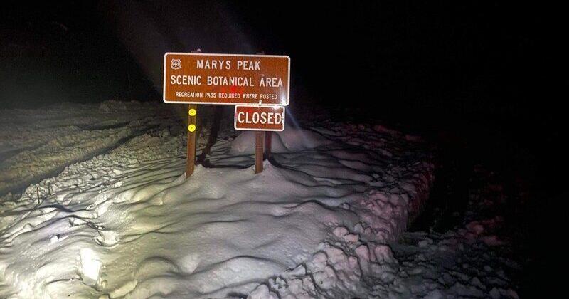
Craig, I have some funds saved up for covering trash disposal costs. A bunch of people have donated to the General Fund of Trash No Land in 2021 and the purpose of those funds is to help target shooters in their stewardship efforts. If you can cover the cost of the dump, send me the receipt and I'll reimburse you (Actually, the target shooting community will reimburse you!).

Because... that's how we save our places to shoot!

Bill
 
How about December 18th for a clean-up? We will pray for good weather. If less than 5 commit I will find a date in January.
Yes it is close to Christmas but look at it as giving back to a great area that we all enjoy.
Law enforcement will open the gate for us.
Just respond to the thread.
Thanks
Craig.
I can make it on the 18th 👍
 
I am back for a bit, may be able to make it.... But still would prefer to meet at an easier location then head up as a group to ensure I'm not getting lost lol
 
Hi @jimmeycool ,
Lets see what it is doing by Thursday. I had a feeling this would probably happen. If we do go on Saturday we will just walk in with trash bags. I had a feeling there wouldnt be many of us hearty soles and with only 1 BLM officer for many counties I didnt want to take his time. I am game if people want to go. We can just leave the bags in a pile and I can get them later.
Or we can just "play it by ear" and arrange something in January.

Thanks
 
Pretty sure that all the dumfukels that go up there and trash the place are the same ones that all went up there and got stuck in their poorXpoors thus causing the closure. :mad:
 
Last Edited:
I would agree with @40Garand on the couple of weeks. Not sure if it is closed at the gate which is beyond the Quarry or at the start of the road. Havent been following it lately. Too many people that should not be driving in the snow with zero common sense last time we were up there after it snowed.
 
I would agree with @40Garand on the couple if weeks. Not sure if it is closed at the gate which is beyond the Quarry or at the start of the road. Havent been following it lately. Too many people that should not be driving in the snow with zero common sense last time we were up there after it snowed.
It's closed at Hwy 34.
 
Let me know if you get a response from BLM. I can use my contact if you dont in a day or 2
No rush! There is a ton of snow up there and if you don't have a purpose built 4WD truck or jeep with meaty tires, winch, tools, and support vehicles I'd probably heed the signs at Hwy 34. Stock pickups and Subaru's are not an option.
 
Hey @40Garand
I heard an emergency warning system thing on the radio an hour ago warning about serious flooding possibilities of The Mary's river. You okay down there? Hope you're well away from it.

We've had 1.61" at our house in NE potland.
 
Hey @40Garand
I heard an emergency warning system thing on the radio an hour ago warning about serious flooding possibilities of The Mary's river. You okay down there? Hope you're well away from it.

We've had 1.61" at our house in NE potland.
The TV has been going off for the last 10 minutes. I'll drive over and take a peek in an hour or so. It's been known to spill over so no big surprise. I'm about 1.5 miles away and about 40 feet higher in elevation. I've never been affected. I would not attribute this incident all to rain fall totals but more towards rapid snow melt in the coast range and surrounding foothills.
 
The TV has been going off for the last 10 minutes. I'll drive over and take a peek in an hour or so. It's been known to spill over so no big surprise. I'm about 1.5 miles away and about 40 feet higher in elevation. I've never been affected. I would not attribute this incident all to rain fall totals but more towards rapid snow melt in the coast range and surrounding foothills.
Cool. I know that there was probably a bunch of snow still up there. With that and the heavy rain. Our 1 1/2" came from midnight 'till around 6:00 when it lightened up a bit. It always seems to dump more in the coast range than down on the flats too.
 
The Frolic grounds are under water, Fern Rd and Grange Hall Rd are wading pools.

06A225C5-13EC-41CB-8DCA-51A04CBD646F.jpeg
 
Resource discussions are for general chit-chat. Use the buttons near the top to ask a question or write a review for this resource.

Upcoming Events

Teen Rifle 1 Class
Springfield, OR
Kids Firearm Safety 2 Class
Springfield, OR
Arms Collectors of Southwest Washington (ACSWW) gun show
Battle Ground, WA

New Resource Reviews

New Classified Ads

Back Top