- Messages
- 17,471
- Reactions
- 36,484
https://www.msn.com/en-us/news/crim...es-against-corner-crossing-hunters/ar-AAZZ54u
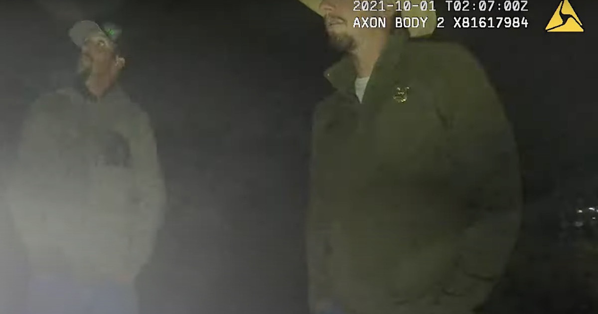
"A Carbon County Circuit Court jury in April found them not guilty of criminal trespass and trespassing to hunt, misdemeanor charges filed after their 2021 trip to Wyoming."
"The cases involving Missouri hunters Phillip Yeomans, Bradly Cape, John Slowensky and Zachary Smith could have implications for accessing an estimated 8.3 million acres of public land across the West, 2.44 million in Wyoming alone. That's the acreage estimated to be "corner locked" by any interpretation that corner crossing is illegal."
"Eshelman's civil suit claims the hunters trespassed because they violated his airspace, a dimension from which he asserts he may exclude others."
Eshelman put up a "fence" blocking the corner to corner path.
"The hunters fashioned, brought and used a ladder to climb over the obstruction to pass from one section of BLM land to another. They hunted on public land in the area, corner crossing to reach hundreds of acres where they killed elk and a deer."
")