Join the #1 community for gun owners of the Northwest
We believe the 2nd Amendment is best defended through grass-roots organization, education, and advocacy centered around individual gun owners. It is our mission to encourage, organize, and support these efforts throughout Oregon, Washington, Idaho, Montana, and Wyoming.
I saw the guy on a TV news report. If I'd been the FFL, I don't think I'd have sold him a gun even if he wasn't Antifa! However, he indicated he was Antifa and I feel that anyone knowingly selling a firearm to an organization committing the crimes Antifa commits, should be held as accountable as Antifa! It's akin to selling a gun to a known terrorist! So -- I fully support the FFL!
Bend is east of the Cascades, that makes it Eastern Oregon. Oregon is divided by it geological features, not by measured demarcation points. The Cascades are used by everyone from the government to truckers as the east/west dividing line. Since there is such a stark contrast to the landscape from the range this makes total sense. Western Oregon nearly is (or in some places actually is) a temperate rain forest, while Eastern Oregon is either high mountain desert or some close approximation thereof or a dry ponderosa forest.
The north/south divide is a bit harder to discern. In the West it is marked by the Willamette Valley in the north and the Klamath Mountains in the south (Right around the city of Eugene). In the east it is mostly marked by the Northern Basin in the south (don't ask) and the Blue Mountains and the Columbia Basin in the north. The north/south divide is pretty close to the map midpoint, but it is indeed divided by the geographic features not how well it bisects the map.
I am sure someone uses "central" as some kind of useful metric, they just do not run in any of my circles. Most government functions I am aware of break the state into simple east/west, e.g. hunting regulations;
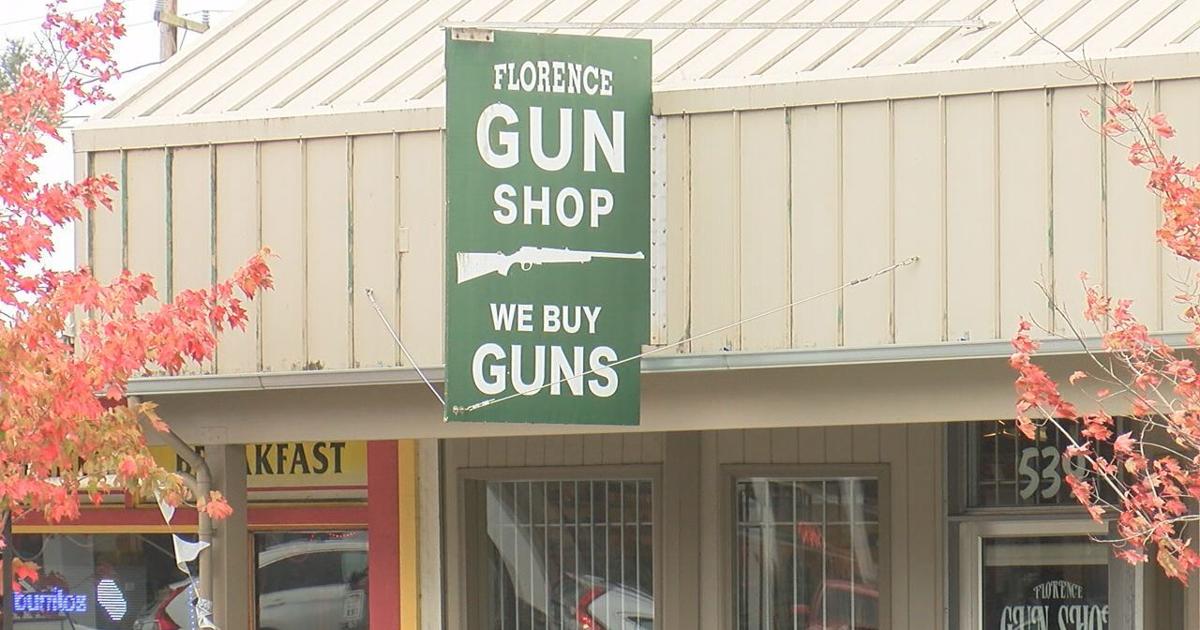
Mark Iannicelli says he feels the Florence Gun Shop violated his right to bear arms after denying his background check to acquire his purchased weapon.
I am sure someone uses "central" as some kind of useful metric, they just do not run in any of my circles. Most government functions I am aware of break the state into simple east/west, e.g. hunting regulations;
I worked in state government for 10 years. I often heard the Bend/Redmond/Prineville/Madras area referred to as Central Oregon. I don't think it's anything carved in stone. Just common usage. Kind of like "southern Oregon." I think when people use that term it's mostly SW Oregon that comes to mind. K Falls and Lakeview are about as far south as you can get, but I think most people would think of them as eastern Oregon rather than southern Oregon.
If our Supporting Vendors don't have what you're looking for, use these links before making a purchase and we will receive a small percentage of the sale